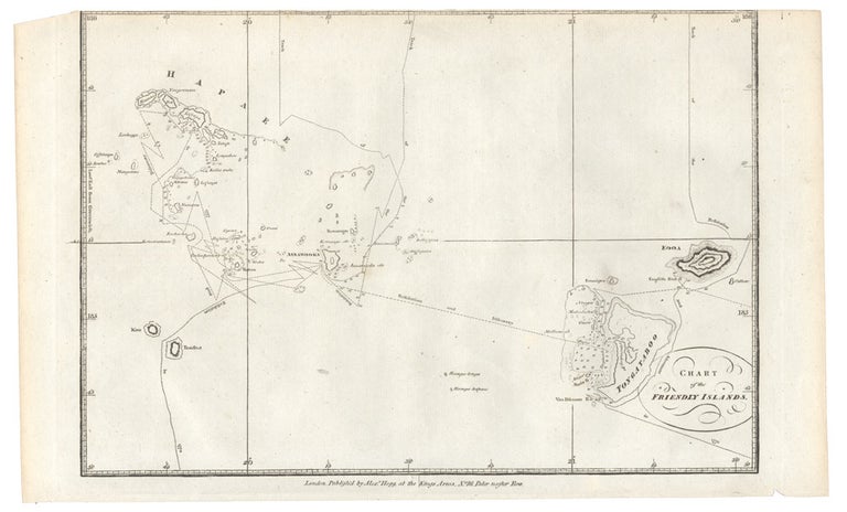
Chart of the Friendly Islands.
Chart of the Friendly Islands
London: Alexander Hogg, circa 1786.
Engraved chart, 220 x 330 mm.
Chart showing Cook's route around the Tongan Islands, which he discovered in 1773. The Islands are also known as the Friendly Islands because of the reception that Captain Cook received. Published for Anderson's New, Authentic and Complete Collection of Voyages round the World.
Chart showing Cook's route around the Tongan Islands, which he discovered in 1773. The Islands are also known as the Friendly Islands because of the reception that Captain Cook received. Published for Anderson's New, Authentic and Complete Collection of Voyages round the World.
Condition Report: Very good
Price (AUD): $175.00
US$112.96 Other currencies