
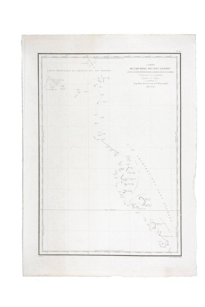
Carte de l'achiplel des iles Gilbert…
Paris: Arthus Bertrand, 1827.
Engraved chart; 610 x 440 mm.
Pioneering cartography of Micronesia
Delicately engraved chart of the Gilbert Islands in present-day Micronesia, from the official atlas of the French scientific expedition of 1822-1825 under the command of Louis-Isidor Duperrey. The Duperrey voyage is of great importance to the history of European contact with the indigenous peoples of Micronesia. It was also the first time accurate maps of the region were produced.
Delicately engraved chart of the Gilbert Islands in present-day Micronesia, from the official atlas of the French scientific expedition of 1822-1825 under the command of Louis-Isidor Duperrey. The Duperrey voyage is of great importance to the history of European contact with the indigenous peoples of Micronesia. It was also the first time accurate maps of the region were produced.
The expedition left France in the Coquille in August 1822, and after venturing through the Pacific and stopping at New Zealand they reached the Gilbert islands in May 1824. Overall, the experience of French sailors and scientists of the Duperrey expedition in Micronesia was peaceful (so much so that two sailors chose to remain on the Chuuck islands rather than remain aboard the Coquille and return to Europe). This contact was greatly different to earlier landfalls made by the Spanish, which were characterised by violence and pillaging of the native villages.
For a full description of Duperrey voyage in this region see Francis Hezel The First Taint of Civilization. A history of the Caroline and Marshall Islands in pre-Colonial days (pages 95-102).
Condition Report: Fine.
Price (AUD): $650.00
US$416.58 Other currencies